 Views : 77732 Computarized Land Survey services from SAS Surveyors & Engineers in Kottayam, Idukki, Pala, Alappuzha & Pathanamthitta |
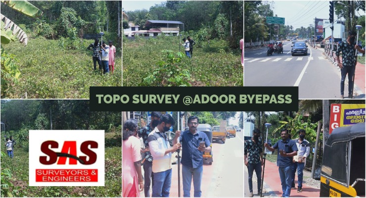 Views : 80015 Topo survey @adoor byepass - Road Survy from SAS Surveyors & Engineers in PathanamthittaLand Surveyors in Pathanamthitta, Land Surveyors in Thiruvalla, Land Surveyors in Adoor, Land Surveyors in Pandalam, Land Surveyors in Kozhencherry, Land Surveyors in Pathanamthitta - SAS Surveyors & Engineers in Pathanamthitta. Land surveying, Surveyor, Geomatics,Boundary survey, Topographic survey, Construction survey, GPS surveying, Land measurement, Land mapping, Geodetic survey, Surveying equipment, Legal descriptions, Land records, Geographic information system (GIS), Land development, Cadastral survey, Elevation survey, Remote sensing, Aerial surveying, Geospatial data |
 Views : 78905 Land Survey using Total Station & GPS from SAS surveyors & Engineers Kerala |
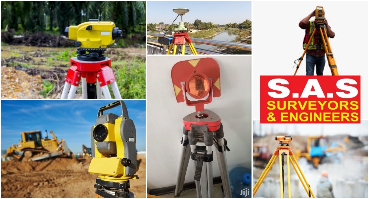 Views : 70439 Sas Surveyors And Engineers is one of the leading and longest serving survey consultancy company in Karnataka. We take pride in our Accuracy, presentation and timely delivery of the projects undertaken. |
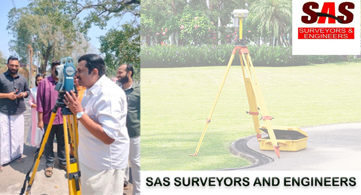 Views : 65373 Discover Precision and Excellence with SAS Land Survey Kottayam!
Road Survey Services, GPS Survey Services, Geological Survey Services, Transmission Line Survey Services, Remote Sensing Services, Topographic Survey Services, Groundwater Survey Services, Environmental developer, architect, engineer, or landowner in Kottayam, SAS Land Survey Kottayam |
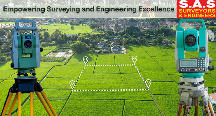 Views : 67251 Sas Surveyors And Engineers, located in Adoor, Pathanamthitta, Kerala, is your trusted partner for a wide range of surveying services. Our team of skilled professionals specializes in hydrographic surveying, road surveying, coastal surveying, RTK surveying, geotechnical services, total station surveying, and preliminary surveys.
Road Survey Services, GPS Survey Services, Geological Survey Services, Transmission Line Survey Services, Remote Sensing Services, Topographic Survey Services, Groundwater Survey Services, Environmental |
 Views : 75643 Land Title Survey in Idukki, Kottayam, Pathanamthitta, Kerala
There are several different types of land surveying, each serving specific purposes and applications. Here are some common types of land surveying: Land surveying, Surveyor, Geomatics, Boundary survey, Topographic survey, Construction survey, GPS surveying, Land measurement, Land mapping, Geodetic survey, Surveying equipment, Legal descriptions, Land records, Geographic information system (GIS), Land development, Cadastral survey, Elevation survey, Remote sensing, Aerial surveying, Geospatial data |
 Views : 57026 Sas Surveyors And Engineers, professional land surveying firm specializing in surveying & mapping of infrastructure, residential, industrial projects & layout services in and around Pathanamthitta, Pala, Kottayam, Alappuzha, Idukki & Ernakulam.
Road Survey Services, GPS Survey Servies, Geological Survey Services, Transmission Line Survey Services, Remote sensing Services, Topographic Survey Services, Groundwater Survey Services, Environmental impact Assessment Services, Aerial Photography Survey Services & Tunnel Survey Services
Land surveying, Surveyor, Geomatics,Boundary survey, Topographic survey, Construction survey, GPS surveying, Land measurement, Land mapping, Geodetic survey, Surveying equipment, Legal descriptions, Land records, Geographic information system (GIS), Land development, Cadastral survey, Elevation survey, Remote sensing, Aerial surveying, Geospatial data
|
 Views : 76257 Digital land survey refers to the modernized process of capturing, analyzing, and presenting geospatial data related to land boundaries and features using advanced digital technologies. It involves the use of various tools such as satellite imagery, GPS (Global Positioning System), and Geographic Information Systems (GIS) to accurately measure and map land parcels.
Geospatial data, Land boundaries, Satellite imagery, GPS (Global Positioning System), Geographic Information Systems (GIS), Accuracy, Efficiency, Data management, Precise measurements, Automation, Data integration, Real-time positioning, Topographic information, Urban planning, Infrastructure development, Land management, Data analysis, Collaboration, Data sharing, Resource management
|